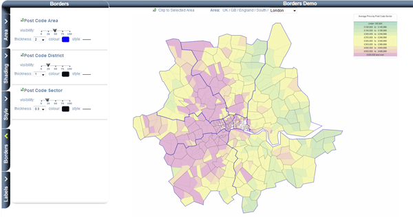
Borders
All Postal Areas, Districts and Sectors have borders. You can change the settings of each to determine if they are displayed and how.
- Click on the 'Borders' tab
-

This will bring up the border options window.
- Change the settings
-
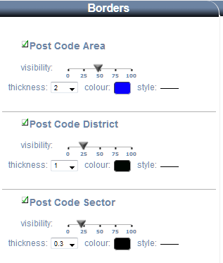
The check box (next to the layer name) sets whether the border is drawn or not. When viewing the entire country it looks better if you turn off the sector borders.
The 'Visibility' slider sets how opaque the border is. The values of around 25% give nice results, as the transparency allows other features to show. The resulting border looks less harsh.
The 'Thickness' setting determines how thick/wide the line is. If you are looking at the whole country then low thickness looks better (less than 1). If you are zoomed in then you can increase the thickness. You get better results by setting the thickness of small areas (like sector) to be narrower than the larger areas (like postal area).
Click on the colour swatch to change the colour of the line.
Clicking on the line style toggles between solid line, dots and dashes.